

Safran brings its high-precision navigation technology to Tara Polar Station
Safran has announced its commitment alongside the Tara Ocean Foundation by contributing its inertial navigation expertise to Tara Polar Station, a drifting scientific base dedicated to studying the central Arctic Ocean.
These observations will help deepen our understanding of marine biodiversity and ocean dynamics in the Arctic. By ensuring the quality and reliability of measurements, Safran directly contributes to the accuracy of the data collected by scientific teams. This partnership illustrates the Group’s ability to deploy very high-precision technologies in extreme environments, in support of demanding scientific missions.
A Unique Scientific Platform in the Heart of the Arctic
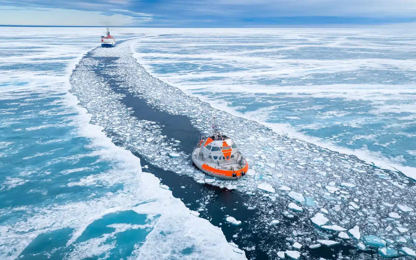
Tara Polar Station is designed as a drifting laboratory trapped in the ice pack, moving with the ice at the heart of the Arctic Ocean. Using various sensors, scientists will study sea ice, the atmosphere, the ocean – temperature and salinity – as well as the fauna and flora of this polar regio
In this unstable and constantly moving environment, the reliability of scientific measurements is a major challenge. At a typical observation range of 1.5 km, a 1° orientation error can result in a lateral position error of about 26 meters. When centimeter-level accuracy is sometimes required by the scientific community, such an error is unacceptable.
To ensure the precision of observations, onboard instruments must rely on a stable, continuous inertial reference that is independent of external disturbances. It is therefore crucial to know the exact orientation of the vessel at the time of each measurement.





Performance and Robustness for Reliable Scientific Data
Safran Electronics & Defense is providing its high-precision inertial navigation technology – originally developed for aeronautical and defense applications – to meet the specific constraints of this scientific exploration in a polar environment.
At the heart of this system is Safran’s Hemispherical Resonator Gyroscope (HRG) technology, a highly robust and extremely precise sensor that measures angular motion without relying on moving parts subject to friction. Renowned for its exceptional stability, very low drift, and long-term reliability, HRG technology is particularly well suited to harsh and isolated environments such as the Arctic, where maintenance is limited and consistent performance over time is critical.
On board the station, the inertial navigation system will continuously measure the vessel’s movements – roll, pitch, and heading – to accurately determine its orientation as it drifts. This data will be used to correct measurements from onboard scientific instruments, including biological echosounders and acoustic current profilers, used to observe marine life and ocean currents down to depths of 1,500 meters.
“Once all these parameters are aligned and calibrated together, we are able to correct the data from the echosounders to determine the exact position of marine life within the water column – that is, where the biomass is located. But even more importantly, we can precisely measure the direction and speed of ocean currents.“
Thomas Linkowski, Engineer Oceanographer
Safran’s Expertise Adapted to Extreme Environments
While GNSS (Global Navigation Satellite System) provides accurate absolute positioning when available, inertial navigation systems ensure continuity by delivering high-precision attitude and heading information. This capability is essential for correcting scientific measurements, particularly in dynamic or GNSS-degraded environments such as the Arctic and North Pole regions.
One of the key advantages of inertial navigation systems is their ability to continue calculating a vessel’s position even when GNSS signals are temporarily lost, ensuring uninterrupted scientific data collection throughout the mission.
Maintaining a stable inertial reference in the highly constrained environment of Arctic sea ice highlights the robustness and reliability of Safran’s navigation solutions.
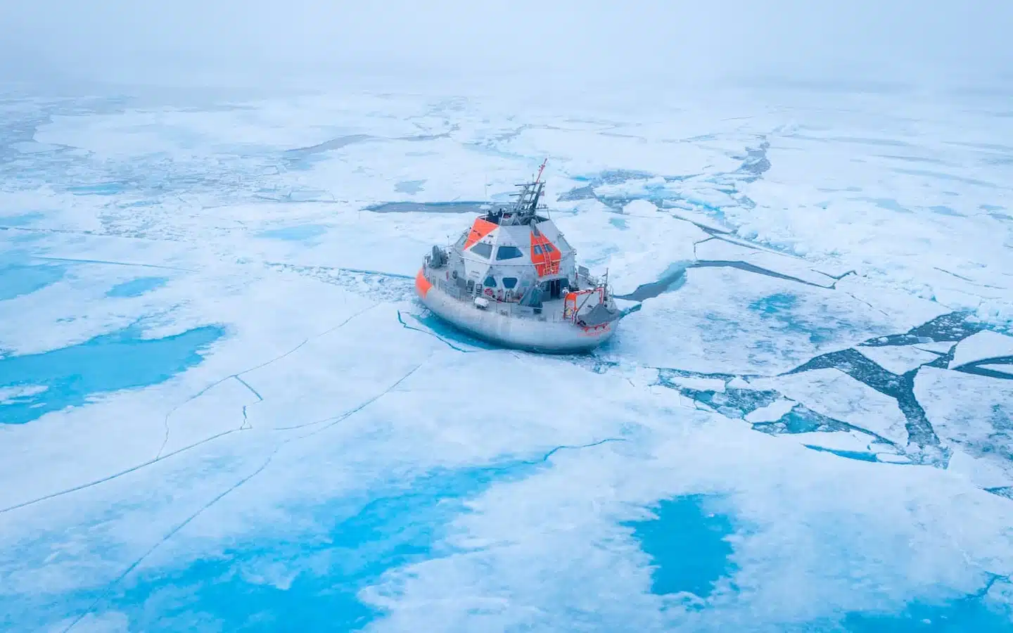

“At high latitudes, GNSS signals become less reliable and may even be unavailable for extended periods. In this context, the autonomous operation of inertial navigation systems becomes essential. By maintaining a continuous and stable reference, our solutions ensure the accuracy and continuity of scientific measurements, enabling researchers to reliably monitor ocean dynamics and marine life throughout the mission.“
Jean-Jacques Mounier, Program Manager at Safran Electronics & Defense

BlueNaute® Inertial Navigation System
Inertial Reference System for maritime applications
BlueNaute® is an attitude and heading reference system designed for commercial, paramilitary and service vessels. Thanks to HRG Crystal™ inertial technology, it is totally unaffected by the most extreme environments and provides a high precision navigation.